Loading...
Related Footage
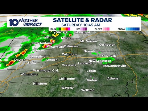
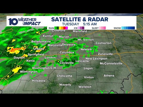
LIVE RADAR: Storms moving through parts of central Ohio
LIVE RADAR: Storms moving through parts of central Ohio
04:47:12 - Youtube video: MsLRGn5WHwQ
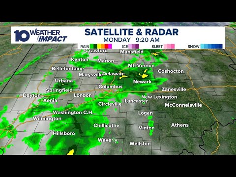
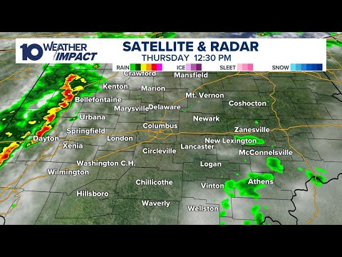
LIVE RADAR: Rain, storms moving through central Ohio
LIVE RADAR: Rain, storms moving through central Ohio
05:28:22 - Youtube video: d8Zne8GQjrk
LIVE RADAR: Round of storms moving through central Ohio
LIVE RADAR: Round of storms moving through central Ohio
03:57:59 - Youtube video: kuQs7qUTjJ8
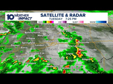
LIVE RADAR: Showers, storms moving through parts of central Ohio
LIVE RADAR: Showers, storms moving through parts of central Ohio
03:56:41 - Youtube video: AMh4wMPLeLg
LIVE RADAR: Showers, storms moving through central Ohio
LIVE RADAR: Showers, storms moving through central Ohio
11:55:00 - Youtube video: EpIM3c1IIrM
Tracking storms moving through central Ohio | Live radar, weather updates
Tracking storms moving through central Ohio | Live radar, weather updates
10:48:01 - Youtube video: PWMav_TO37g
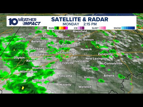
LIVE RADAR: Storms moving through parts of central Ohio
LIVE RADAR: Storms moving through parts of central Ohio
02:18:06 - Youtube video: wcJJKjsS-5U
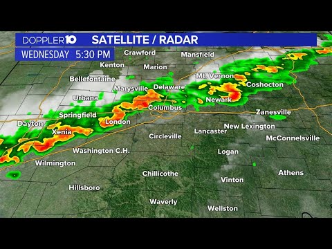
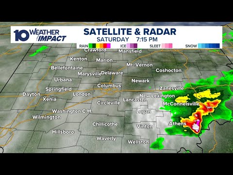
LIVE RADAR: Tracking threat of strong storms in central Ohio Monday
LIVE RADAR: Tracking threat of strong storms in central Ohio Monday
08:40:50 - Youtube video: 0l5fkHhoQTo