Loading...
Related Footage
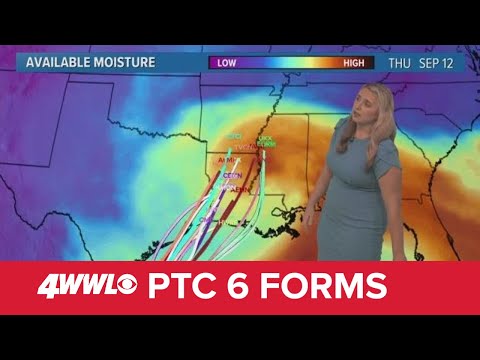
Sunday 5 PM Tropical Update: PTC 6 forms in the southern Gulf, forecast to become hurricane
Sunday 5 PM Tropical Update: PTC 6 forms in the southern Gulf, forecast to become hurricane
00:05:41 - Youtube video: jNPKa0N2VgI
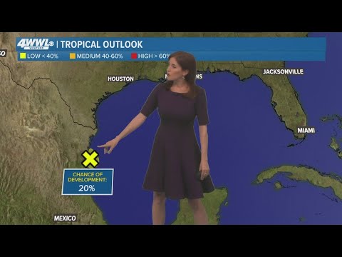
Sunday 5 PM Tropical Update: System in Gulf not expected to develop as it heads into Mexico
Sunday 5 PM Tropical Update: System in Gulf not expected to develop as it heads into Mexico
00:00:42 - Youtube video: Y5N2dAU-h_c
Tuesday 5 AM Tropical Update: Development possible in Gulf of Mexico
Tuesday 5 AM Tropical Update: Development possible in Gulf of Mexico
00:03:24 - Youtube video: -T9azI9usSM
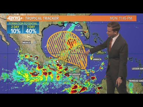
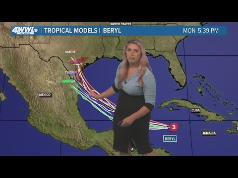
Monday 5 am Tropical Update: Hurricane likely in the Gulf this week
Monday 5 am Tropical Update: Hurricane likely in the Gulf this week
00:03:55 - Youtube video: 16uSizXnHZY
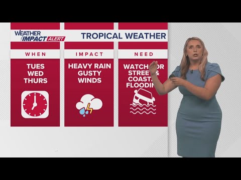
New Orleans Weather: Tropical system forms, expected to bring impacts to Gulf Coast
New Orleans Weather: Tropical system forms, expected to bring impacts to Gulf Coast
00:05:18 - Youtube video: Kzc2YugEn9Q
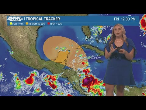
Friday 12 PM Tropical Update: Watching the Gulf of Mexico
Friday 12 PM Tropical Update: Watching the Gulf of Mexico
00:02:25 - Youtube video: Ojpr-1-L8KM
Thursday Noon Tropical Update: Hurricane Beryl slams Caribbean islands
Thursday Noon Tropical Update: Hurricane Beryl slams Caribbean islands
00:02:01 - Youtube video: 4Sljir7oXpo
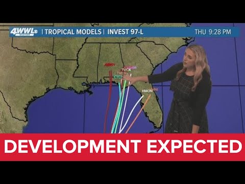
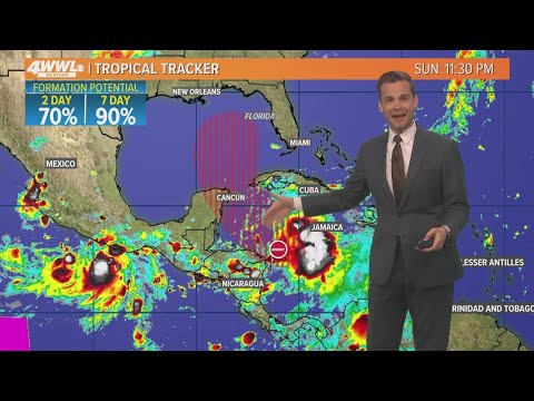
Sunday 10 PM Tropical Update: Tropical development in Gulf expected this week
Sunday 10 PM Tropical Update: Tropical development in Gulf expected this week
00:02:28 - Youtube video: VsvHbD48Iao