Loading...
Related Footage
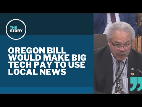
Oregon lawmakers push for tech companies to pay local news outlets for clicks
Oregon lawmakers push for tech companies to pay local news outlets for clicks
00:06:17 - Youtube video: NIuO72Cc630

Denver police investigating disappearance of local woman
Denver police investigating disappearance of local woman
00:00:49 - Youtube video: lZGX0HnHDi8

KGW Top Stories: Sunrise, Monday, September 15, 2025
KGW Top Stories: Sunrise, Monday, September 15, 2025
00:11:05 - Youtube video: dSP-JBYsNK8
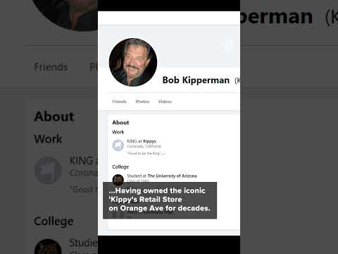
Fire claims life of local legend in Coronado, Bob Kipperman known as 'The King of Bling'
Fire claims life of local legend in Coronado, Bob Kipperman known as 'The King of Bling'
00:00:48 - Youtube video: qAMfT5v7Y8M

13News Top Stories | 6 a.m., Oct. 17, 2024
13News Top Stories | 6 a.m., Oct. 17, 2024
00:11:51 - Youtube video: o1QRCOfM7rI

13News Top Stories | 6 a.m., Feb. 27, 2025
13News Top Stories | 6 a.m., Feb. 27, 2025
00:11:22 - Youtube video: TVL2wmITDQA
Last chance to dance for local schools in Colorado
Last chance to dance for local schools in Colorado
00:00:42 - Youtube video: W3d28IRg74M

Morning news headlines | Monday, Jan. 23
Morning news headlines | Monday, Jan. 23
00:11:21 - Youtube video: ImQ-ckaRMS8