Loading...
Related Footage
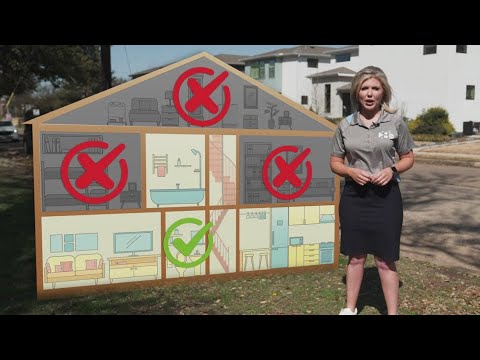
Know what to do during severe weather to stay safe
Know what to do during severe weather to stay safe
00:01:06 - Youtube video: 8ccf0-D3Gj0
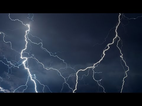
How to prepare for severe weather
How to prepare for severe weather
00:02:56 - Youtube video: J5Hjp_JaRKI

School closures, schedule changes announced due to severe weather forecast
School closures, schedule changes announced due to severe weather forecast
00:00:32 - Youtube video: X3xornF4oOU
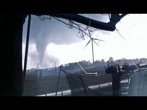
Buildings destroyed, multiple injuries reported in Winchester severe weather
Buildings destroyed, multiple injuries reported in Winchester severe weather
00:01:56 - Youtube video: TdyuTWdoZuk
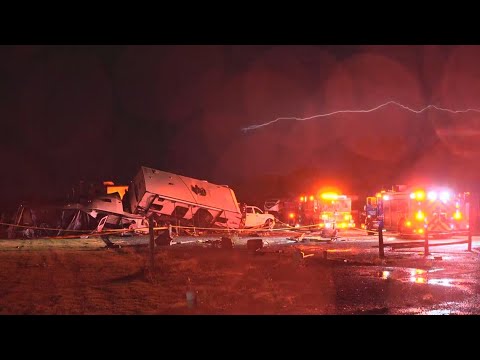
Several mobile homes flipped over in Gunter following 'severe weather incident'
Several mobile homes flipped over in Gunter following 'severe weather incident'
00:04:20 - Youtube video: S4UP0g-BAUw
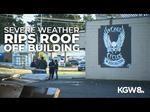
Severe weather rips roof off Longview building and damages several more
Severe weather rips roof off Longview building and damages several more
00:02:07 - Youtube video: BP1jki-qyrg
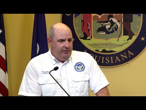
Watch: City provides update on anticipated severe weather
Watch: City provides update on anticipated severe weather
00:17:25 - Youtube video: a5NzwpkIMSo
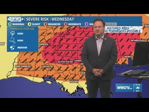
New Orleans Weather: Severe weather risk grows across southeast Louisiana, Mississippi Coast
New Orleans Weather: Severe weather risk grows across southeast Louisiana, Mississippi Coast
00:14:36 - Youtube video: rPkFyRt88mQ