Kurator
For Seller
Marketplace
Request License
Contact Us
0
Sign in
Search in AI transcripts:
Audio
Visual
New!
You can click the add button on each asset to add it
Add to Review Link
Add to New Link
Add
Marketplace | Kurator App
Search Results For: oregon wildfire map
Best Fit
Latest (Upload Date)
Oldest (Upload Date)
Latest (Recorder Date)
Oldest (Recorder Date)
License Details
Category
Asset Details
Format
Creator
Oregon withdraws wildfire risk map after public outcry
Oregon withdraws wildfire risk map after public outcry
00:05:54 - Youtube video: 5SbY7T3oWkw
Gov. Kotek pauses appeals on Oregon’s controversial wildfire hazard map
Gov. Kotek pauses appeals on Oregon’s controversial wildfire hazard map
00:01:18 - Youtube video: JvHvIQ3mrQ4
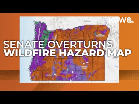
Oregon Senate votes to overturn wildfire hazard map
Oregon Senate votes to overturn wildfire hazard map
00:01:47 - Youtube video: Usu9n4xYu9A
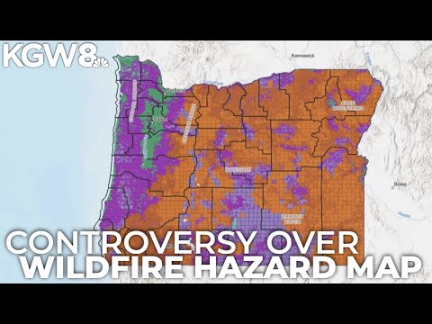
Oregon releases new versions of controversial property wildfire risk maps
Oregon releases new versions of controversial property wildfire risk maps
00:07:02 - Youtube video: CxEnH-k6TGc
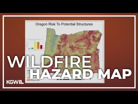
New wildfire hazard map to help with environmental hazard in Oregon
New wildfire hazard map to help with environmental hazard in Oregon
00:02:43 - Youtube video: t9_gVlD74h0
Oregon's wildfire risk map sends some homeowners' insurance skyrocketing
Oregon's wildfire risk map sends some homeowners' insurance skyrocketing
00:07:51 - Youtube video: j1yW-A9PRjY
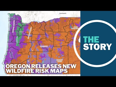
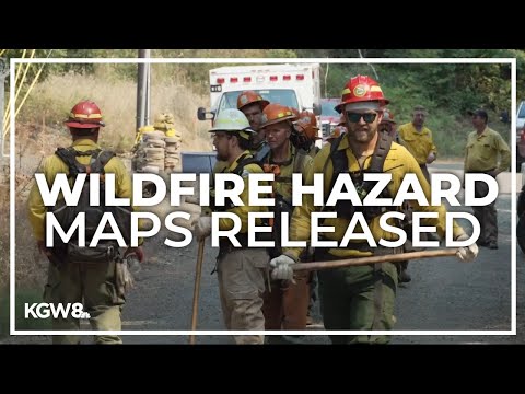
Oregon releases new wildfire hazard maps
Oregon releases new wildfire hazard maps
00:00:41 - Youtube video: 4e3W8VT5NGo
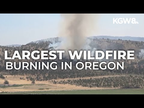
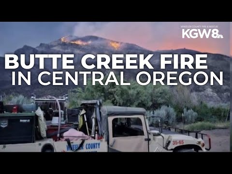
Cram Fire in central Oregon explodes to over 77,000 acres
Cram Fire in central Oregon explodes to over 77,000 acres
00:01:02 - Youtube video: l78GOwtqXX4
Homeowners report being dropped from insurance over wildfire risk
Homeowners report being dropped from insurance over wildfire risk
00:01:19 - Youtube video: s2pNFwi1N1Y
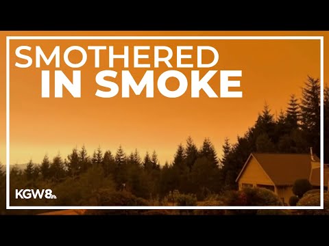
Smoke from the Cedar Creek Fire is polluting air across western Oregon
Smoke from the Cedar Creek Fire is polluting air across western Oregon
00:02:24 - Youtube video: YQsQgI5VnFE
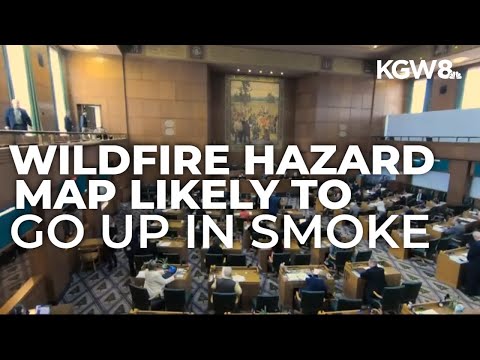
Controversial Oregon wildfire hazard map set to likely get scrapped
Controversial Oregon wildfire hazard map set to likely get scrapped
00:01:49 - Youtube video: FAwQ7DjlP_8
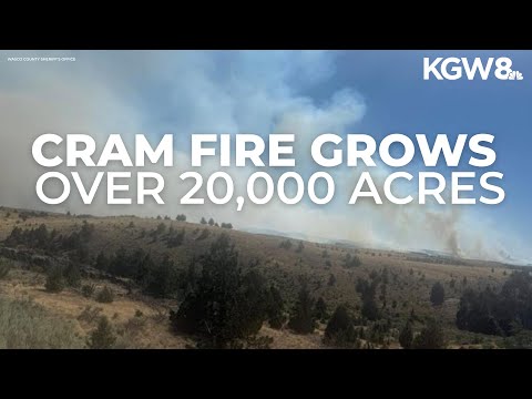
Cram Fire in central Oregon grows to 20,000 acres
Cram Fire in central Oregon grows to 20,000 acres
00:00:23 - Youtube video: EDKYqfM0NeM
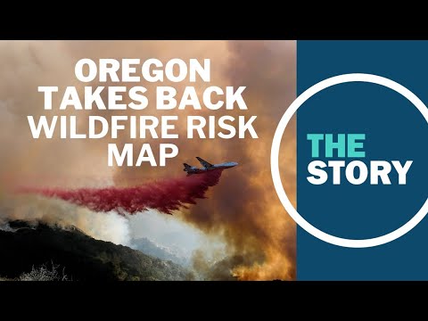
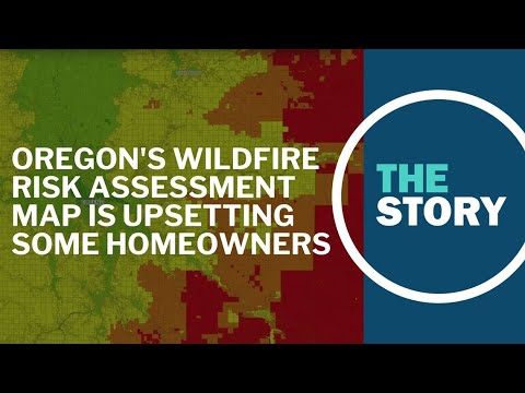
What Oregon's new wildfire risk map means for some homeowners' insurance | The Story | Aug. 3, 2022
What Oregon's new wildfire risk map means for some homeowners' insurance | The Story | Aug. 3, 2022
00:30:38 - Youtube video: jzBZ1SABvjU
Oregon withdraws wildfire risk assessment map after public outcry | The Story | Aug. 5, 2022
Oregon withdraws wildfire risk assessment map after public outcry | The Story | Aug. 5, 2022
00:30:47 - Youtube video: kbzQU7KFmiY
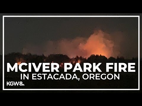
Milo McIver State Park fire: Level 3 (Go Now) evacuations ordered, shelter set up for evacuees
Milo McIver State Park fire: Level 3 (Go Now) evacuations ordered, shelter set up for evacuees
00:01:32 - Youtube video: GVNJOQ4bCPQ
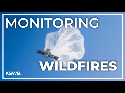
High-altitude balloons helping map, fight wildfires in real time
High-altitude balloons helping map, fight wildfires in real time
00:01:39 - Youtube video: mrk6tc6exDk
LIVE COVERAGE: Wildfires in the Gorge close highways, prompt evacuations
LIVE COVERAGE: Wildfires in the Gorge close highways, prompt evacuations
01:46:14 - Youtube video: ADGAv-ef9MQ
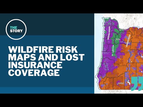
Oregon makes second attempt at statewide wildfire risk maps | The Story | July 22, 2024
Oregon makes second attempt at statewide wildfire risk maps | The Story | July 22, 2024
00:28:00 - Youtube video: 9-bNWR1jcnI
Wildfire burning in unincorporated Wasco County grows
Wildfire burning in unincorporated Wasco County grows
00:00:21 - Youtube video: 8OcbCL1bvxU
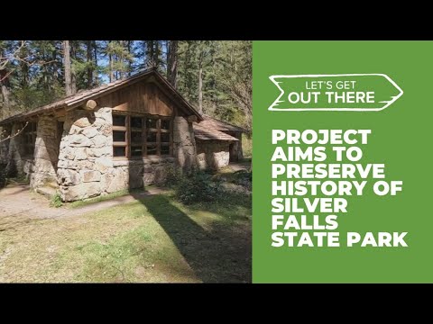
Silver Falls State Park 3D-mapping looks to preserve the park's beauty
Silver Falls State Park 3D-mapping looks to preserve the park's beauty
00:02:04 - Youtube video: RzDhnlwGe3Y