Loading...
Related Footage
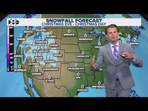
DFW Weather | Where to expect snowfall on Christmas, 14 day forecast
DFW Weather | Where to expect snowfall on Christmas, 14 day forecast
00:03:09 - Youtube video: wDO1plhLvdo
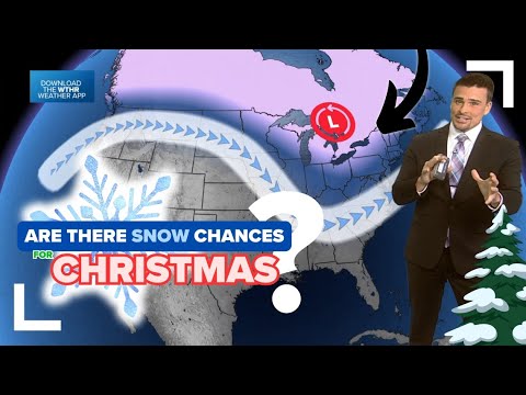
Early look | Could we get a white Christmas in Indiana this year? (2024)
Early look | Could we get a white Christmas in Indiana this year? (2024)
00:08:59 - Youtube video: d22UX_NNzIg
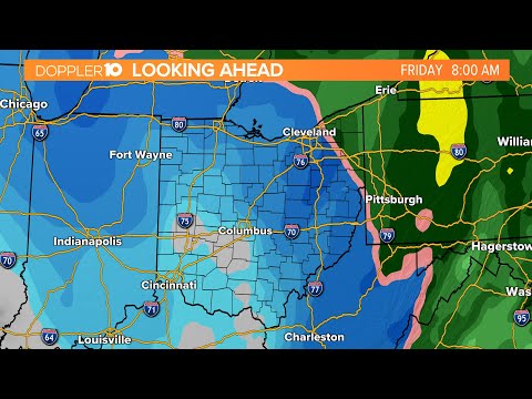
Columbus, Ohio 10-day weather forecast | Dec. 19, 2022
Columbus, Ohio 10-day weather forecast | Dec. 19, 2022
00:04:54 - Youtube video: FzHsM2ByycI
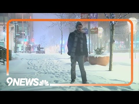
With sunshine forecasted for the next seven days, Colorado still has a chance for a white Christmas
With sunshine forecasted for the next seven days, Colorado still has a chance for a white Christmas
00:01:37 - Youtube video: roTPPfhQXUg