Loading...
Related Footage
Snowing in the Colorado mountains
Snowing in the Colorado mountains
00:00:51 - Youtube video: d_PNb6iUgJs
Mayor Ginther, city leaders give update on snow, ice conditions in Columbus
Mayor Ginther, city leaders give update on snow, ice conditions in Columbus
00:09:42 - Youtube video: VbKsQ5Nzd_Y
Columbus Ohio Winter Storm Coverage: Live updates on the snow, sleet & ice
Columbus Ohio Winter Storm Coverage: Live updates on the snow, sleet & ice
00:11:01 - Youtube video: dXvRjd6tEbw
Will it snow this Christmas in central Ohio?
Will it snow this Christmas in central Ohio?
00:01:22 - Youtube video: GH6gFctFHYQ
10TV Team Coverage | Morning weather update
10TV Team Coverage | Morning weather update
00:05:04 - Youtube video: CeYbIJSrXxw
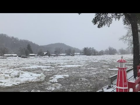
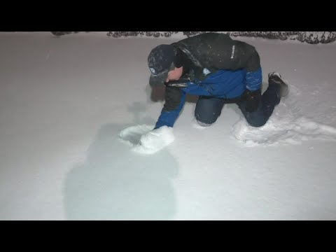
Ice floating down Muskingum River
Ice floating down Muskingum River
00:00:58 - Youtube video: rfqLnooyQt4
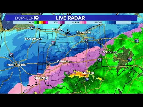
Winter Storm Coverage: Live updates, Doppler 10 radar
Winter Storm Coverage: Live updates, Doppler 10 radar
02:12:44 - Youtube video: _GE_yIRQUrk
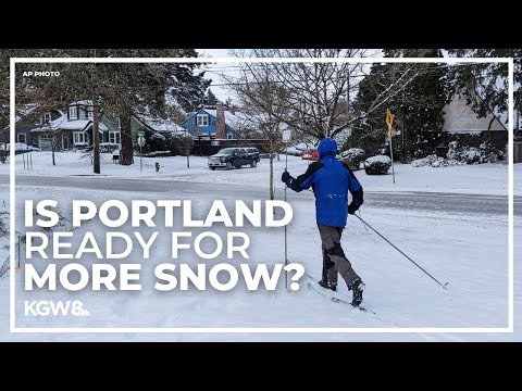
Portland snowstorm: More snow on the way? | Live coverage
Portland snowstorm: More snow on the way? | Live coverage
00:29:32 - Youtube video: 4pYeczPEVGs