Loading...
Related Footage

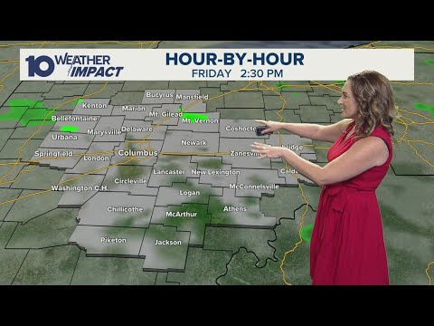
Columbus, Ohio weather forecast for June 30, 2025 | Scattered showers and storms
Columbus, Ohio weather forecast for June 30, 2025 | Scattered showers and storms
00:03:07 - Youtube video: bGJ4kr25fPU
Columbus, Ohio weather forecast for June 13, 2025 | Muggy with possible storms later
Columbus, Ohio weather forecast for June 13, 2025 | Muggy with possible storms later
00:02:42 - Youtube video: 3zF3sfAPlAI
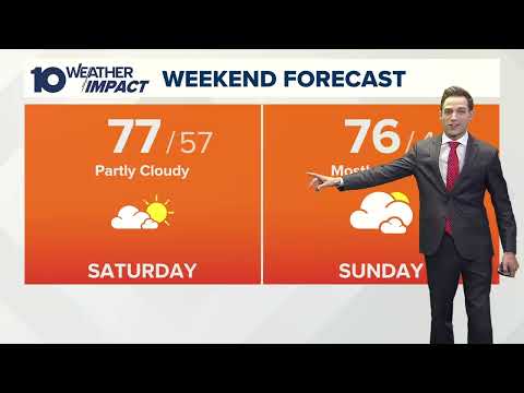
Columbus, Ohio morning forecast | A pleasant weekend ahead
Columbus, Ohio morning forecast | A pleasant weekend ahead
00:04:06 - Youtube video: tsg2Olo-ORM

Columbus, Ohio weather forecast for April 23, 2025 | Much warmer day with light winds
Columbus, Ohio weather forecast for April 23, 2025 | Much warmer day with light winds
00:02:45 - Youtube video: D2sjyRfJXw4

Columbus, Ohio weather forecast for June 17, 2025 | Mostly cloudy skies with scattered showers
Columbus, Ohio weather forecast for June 17, 2025 | Mostly cloudy skies with scattered showers
00:03:06 - Youtube video: sK1uL1kkE2M

Sunny and nice today; cloudy and rainy on Sunday
Sunny and nice today; cloudy and rainy on Sunday
00:03:57 - Youtube video: EKhfHBUNwjM
Columbus, Ohio weather forecast for June 30, 2025 | AM showers and storms
Columbus, Ohio weather forecast for June 30, 2025 | AM showers and storms
00:03:21 - Youtube video: c5ZgRsnUuZo

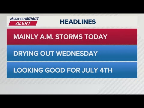
Columbus, Ohio weather forecast for Aug. 6, 2025 | Brief, isolated showers throughout the day
Columbus, Ohio weather forecast for Aug. 6, 2025 | Brief, isolated showers throughout the day
00:02:27 - Youtube video: TLgfIQhsoaQ