Loading...
Related Footage
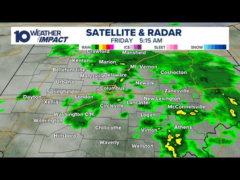
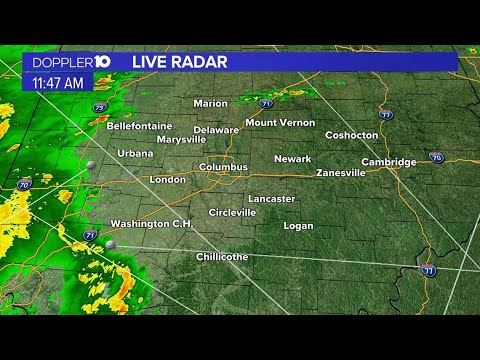
LIVE RADAR: Tracking rain moving through central Ohio
LIVE RADAR: Tracking rain moving through central Ohio
04:06:48 - Youtube video: W3E1czc6cGY
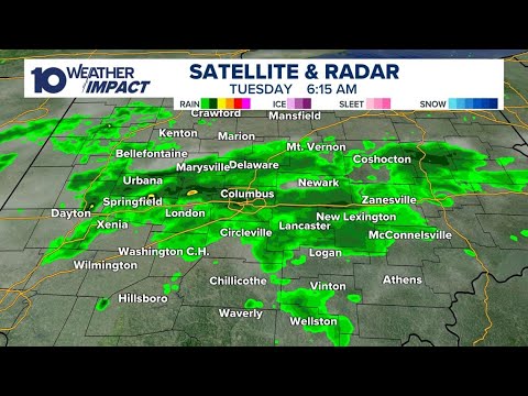
LIVE RADAR: Tracking rain showers in central Ohio
LIVE RADAR: Tracking rain showers in central Ohio
03:28:26 - Youtube video: 33cMFkbQSrA
LIVE RADAR: Rain moving through central Ohio
LIVE RADAR: Rain moving through central Ohio
02:47:21 - Youtube video: 7ir2dOzkHdw
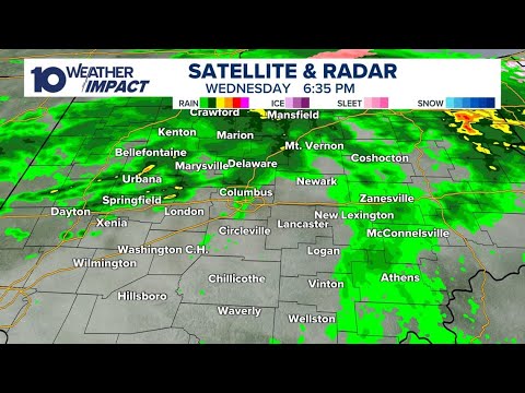
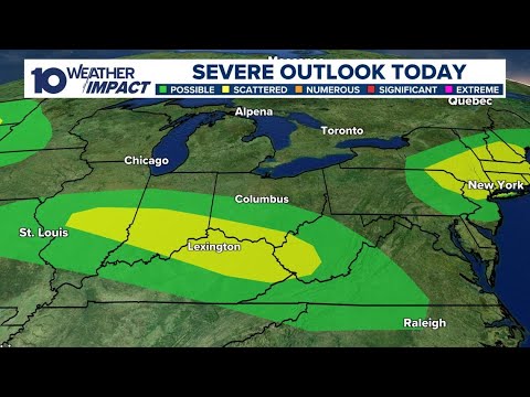
LIVE RADAR: Heavy rain moving through central Ohio
LIVE RADAR: Heavy rain moving through central Ohio
11:19:07 - Youtube video: QfHDS4sPOgo
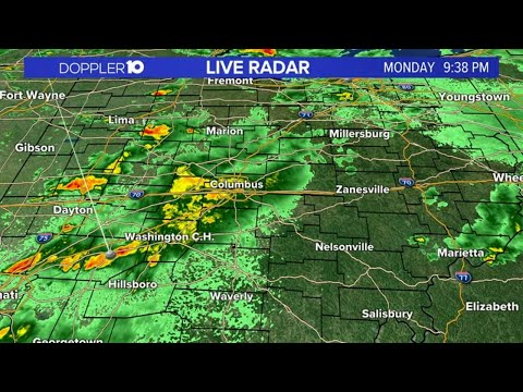
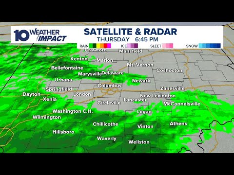
LIVE RADAR: Storms moving through central Ohio
LIVE RADAR: Storms moving through central Ohio
05:04:58 - Youtube video: NIwz-b4vb0w
LIVE RADAR: Rain, sleet moving through central Ohio
LIVE RADAR: Rain, sleet moving through central Ohio
02:53:12 - Youtube video: 7ZmTk9_kEVU
LIVE RADAR: Rain moving through central Ohio
LIVE RADAR: Rain moving through central Ohio
04:29:28 - Youtube video: pdAP00UJhUo
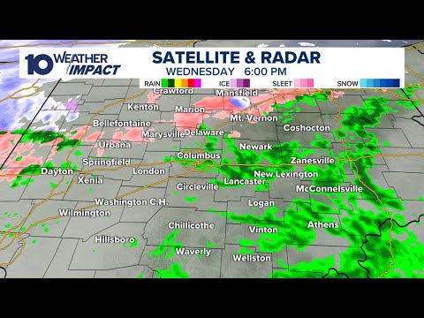
Tracking storms moving through central Ohio | Weather updates, live radar
Tracking storms moving through central Ohio | Weather updates, live radar
10:17:36 - Youtube video: I0P77GyFZH8