Loading...
Related Footage
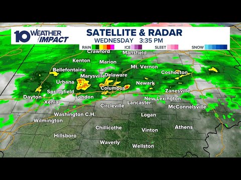
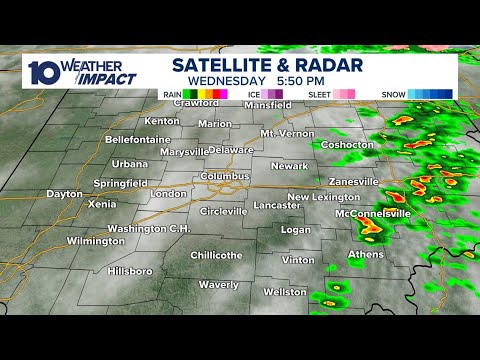
LIVE RADAR: Rain, storms impacting central Ohio
LIVE RADAR: Rain, storms impacting central Ohio
04:34:50 - Youtube video: dTdbiX9mVAA
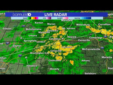
LIVE RADAR: Showers & storms move through central Ohio
LIVE RADAR: Showers & storms move through central Ohio
01:28:43 - Youtube video: IN0bRceL2bs
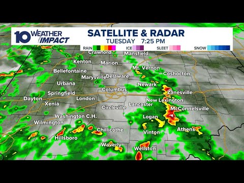
LIVE RADAR: Showers, storms moving through parts of central Ohio
LIVE RADAR: Showers, storms moving through parts of central Ohio
03:56:41 - Youtube video: AMh4wMPLeLg
Tracking severe weather in central Ohio: Live updates on radar as storms move through
Tracking severe weather in central Ohio: Live updates on radar as storms move through
05:11:25 - Youtube video: rZYDNOqHtIo
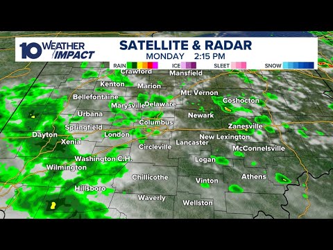
LIVE RADAR: Tracking threat of strong storms in central Ohio Monday
LIVE RADAR: Tracking threat of strong storms in central Ohio Monday
08:40:50 - Youtube video: 0l5fkHhoQTo
LIVE RADAR: Rain, storms moving through central Ohio
LIVE RADAR: Rain, storms moving through central Ohio
11:54:56 - Youtube video: FMj_p7qJDw8
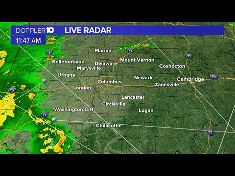
LIVE RADAR: Severe weather in Ohio; strong winds, tornadoes possible
LIVE RADAR: Severe weather in Ohio; strong winds, tornadoes possible
11:54:56 - Youtube video: 9bRJIgbGPJ0
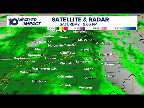
LIVE RADAR: Storms moving through central Ohio
LIVE RADAR: Storms moving through central Ohio
05:04:58 - Youtube video: NIwz-b4vb0w