Loading...
Related Footage
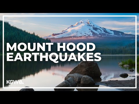
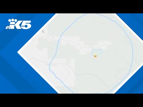
2 earthquakes strike near Mount Hood Tuesday afternoon
2 earthquakes strike near Mount Hood Tuesday afternoon
00:03:48 - Youtube video: Jm34h2BvnT0

How common are earthquakes in East TN?
How common are earthquakes in East TN?
00:01:54 - Youtube video: OIE_3UNpLv4
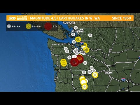
Here's when earthquakes over magnitude 4.5 have hit western Washington
Here's when earthquakes over magnitude 4.5 have hit western Washington
00:03:10 - Youtube video: vh21ysSOako
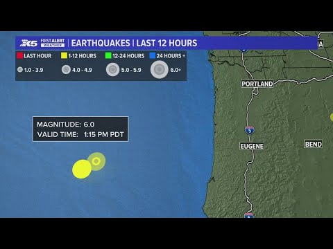
Earthquake reported off Oregon Coast was the 3rd largest in the past 10 years
Earthquake reported off Oregon Coast was the 3rd largest in the past 10 years
00:00:16 - Youtube video: OiCvdMJnA8Y
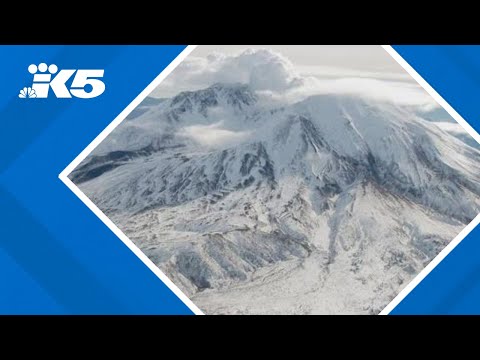
'Recharge' | Additional magma thought to be arriving under Mount St. Helens
'Recharge' | Additional magma thought to be arriving under Mount St. Helens
00:00:27 - Youtube video: Nw2Vo8fMYyg
Did you feel it? 3.7 magnitude earthquake strikes east of Enumclaw
Did you feel it? 3.7 magnitude earthquake strikes east of Enumclaw
00:00:44 - Youtube video: 4diqy9rYrMc
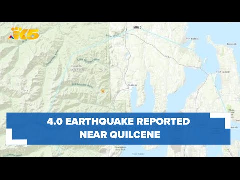
Did you feel it? 4.0 earthquake reported near Quilcene
Did you feel it? 4.0 earthquake reported near Quilcene
00:00:38 - Youtube video: iIyc18kSavk

UC San Diego researchers run a simulation of a magnitude 7.8 earthquake on 10-story building
UC San Diego researchers run a simulation of a magnitude 7.8 earthquake on 10-story building
00:02:30 - Youtube video: EuvxjO69Ptg