Loading...
Related Footage
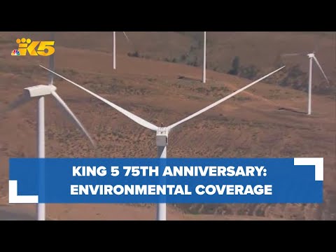
KING 5 75th Anniversary: Environmental coverage
KING 5 75th Anniversary: Environmental coverage
00:02:31 - Youtube video: MYqAS9s3VNQ
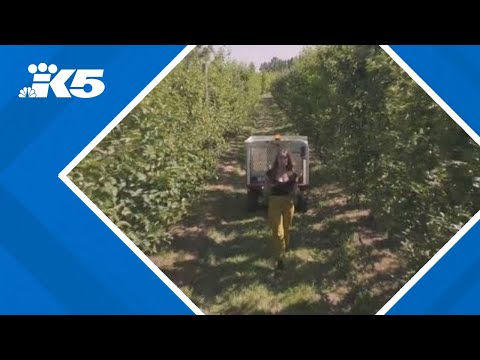
Innovative tech lending library transforms farming in Snohomish County
Innovative tech lending library transforms farming in Snohomish County
00:03:39 - Youtube video: 8q1FGctwGYY
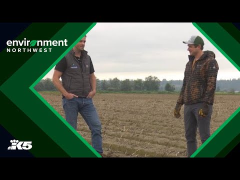
Skagit Valley brothers create solution for irrigation issues
Skagit Valley brothers create solution for irrigation issues
00:02:20 - Youtube video: BK8HpvqneII
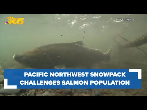
Pacific salmon face no shortage of challenges, shrinking snowpack high among them
Pacific salmon face no shortage of challenges, shrinking snowpack high among them
00:04:43 - Youtube video: zXR4bpT3514
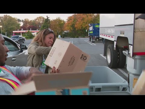
WUSA9 Recycle Day | ECO 9
WUSA9 Recycle Day | ECO 9
00:01:20 - Youtube video: OGPmNzXF9j0
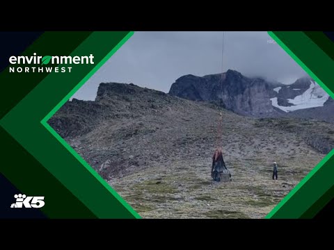
PNW seismic monitoring expanding to volcanoes and underwater
PNW seismic monitoring expanding to volcanoes and underwater
00:03:39 - Youtube video: k5t3TzZ7zPE
When the Earth shakes | Environment Northwest earthquake special
When the Earth shakes | Environment Northwest earthquake special
00:23:22 - Youtube video: V1y0mHnGbVQ
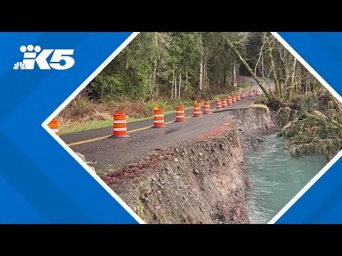
Hoh Rain Forest might not be able to open this summer due to road washout
Hoh Rain Forest might not be able to open this summer due to road washout
00:00:31 - Youtube video: xElFiH2T4QI