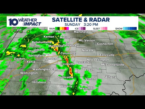
> LIVE RADAR: Tracking afternoon storms with possibility of damaging winds
LIVE RADAR: Tracking afternoon storms with possibility of damaging winds
Clip ID 2386531
Clearance
Add to
Share
Add to Review Link
By Request
By Request assets are not available for immediate purchase.
This content has not been pre-checked for copyright.
Per clip rates are for 20 seconds of final usage. If you are using more then 20 seconds or need a different file format or have questions about clearances contact us
Description
As parts of central Ohio continue to dry out from the flooding rain just over a week ago, we are now getting set for our next round of severe weather here in the Buckeye State.
A quick moving low pressure system will pass to the north of the region Monday, with a cold front sweeping through the region during the afternoon and evening. This front will find some energy available to generate possible strong to severe storms, as temperatures will surge Monday afternoon into the mid-70s.
https://www.10tv.com/article/weather/weather-blog/severe-weather-threat-columbus-ohio-monday/530-1d60e79f-0db1-453e-8f2c-fef65436089a
This has prompted a level 2 out of 5 risk for severe weather in most of the region Monday afternoon and evening. The highest risks look to be between 3 p.m. and 9 p.m. Monday, especially for counties along the southeastern part of the state.
This won't be the most widespread risk for severe weather we have seen this season, but we are going to be tracking some potentially potent storms in the late afternoon and evening.
We are expecting a decent chance for strong to damaging winds during the afternoon, but the highest storm risks won't start developing until storms make it east of I-71. This will happen between 4 p.m. to 6 p.m. Here we could see the threat for hail and possible tornadoes rise. Far southern and southeastern Ohio will be under the gun for these higher threats.
As compared to the map above, our far south/southeastern counties will have a higher risk for severe weather than the region as a whole. These counties will see an enhanced risk for damaging wind, and a medium hail and tornado risk.