Loading...
Related Footage
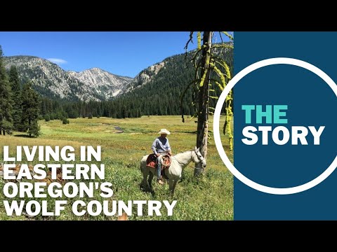
Eastern Oregonians are fed up with the direction of the state. We went to find out why
Eastern Oregonians are fed up with the direction of the state. We went to find out why
00:12:40 - Youtube video: 2fBGDQN05HE
Ranchers in eastern Oregon devastated by Durkee Fire, largest wildfire burning in the US
Ranchers in eastern Oregon devastated by Durkee Fire, largest wildfire burning in the US
00:02:59 - Youtube video: SL3ILR0qIRU
After 'Greater Idaho' wins narrow victory in Wallowa County, Crook County next to vote
After 'Greater Idaho' wins narrow victory in Wallowa County, Crook County next to vote
00:05:09 - Youtube video: 1-GS7zAsgA8
The Story viewers wade into the ‘Greater Idaho’ debate
The Story viewers wade into the ‘Greater Idaho’ debate
00:03:27 - Youtube video: dgMUEdkS4aM
‘We’re really struggling’: Eastern Oregon rancher’s dog killed by state-protected wolves
‘We’re really struggling’: Eastern Oregon rancher’s dog killed by state-protected wolves
00:08:55 - Youtube video: cXKrvM1oiNQ

Investigation into burning of eastern Oregon clean water activist's truck now closed
Investigation into burning of eastern Oregon clean water activist's truck now closed
00:01:17 - Youtube video: jVKFurWE3OU
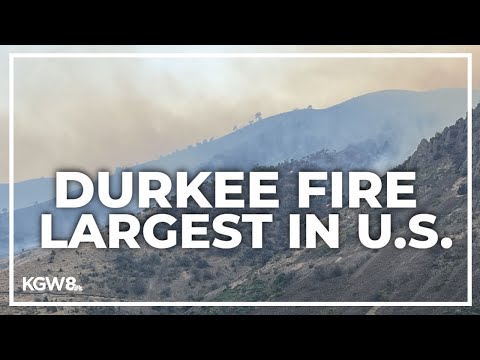
Hundreds of firefighters tackle Durkee Fire in eastern Oregon, the largest wildfire in US
Hundreds of firefighters tackle Durkee Fire in eastern Oregon, the largest wildfire in US
00:02:53 - Youtube video: Daarva7Qo_0
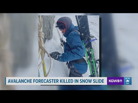
Man dies in avalanche on Gunsight Mountain in eastern Oregon
Man dies in avalanche on Gunsight Mountain in eastern Oregon
00:01:23 - Youtube video: dFYTJfTIAN4