Loading...
Related Footage
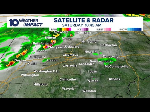
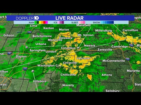
LIVE RADAR: Storms moving through parts of central Ohio
LIVE RADAR: Storms moving through parts of central Ohio
04:47:12 - Youtube video: MsLRGn5WHwQ
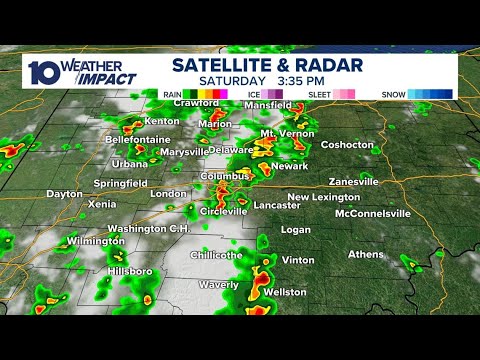
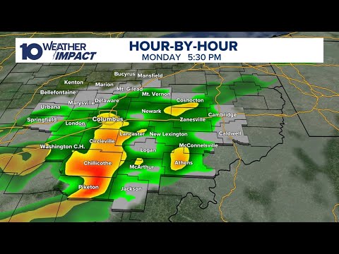
Tracking storms moving through central Ohio | Weather updates, live radar
Tracking storms moving through central Ohio | Weather updates, live radar
10:07:07 - Youtube video: SCreRWP2nmY
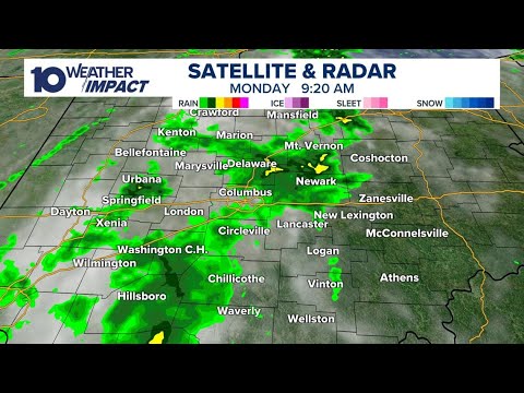
LIVE RADAR: Rain, storms moving through central Ohio
LIVE RADAR: Rain, storms moving through central Ohio
05:28:22 - Youtube video: d8Zne8GQjrk

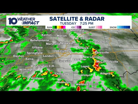
LIVE RADAR: Tracking storms moving through central & southern Ohio
LIVE RADAR: Tracking storms moving through central & southern Ohio
04:13:56 - Youtube video: t1M42rWmOuk
LIVE RADAR: Showers, storms moving through parts of central Ohio
LIVE RADAR: Showers, storms moving through parts of central Ohio
03:56:41 - Youtube video: AMh4wMPLeLg
LIVE RADAR: Tracking afternoon storms with possibility of damaging winds
LIVE RADAR: Tracking afternoon storms with possibility of damaging winds
04:51:29 - Youtube video: f2DyWUMJTIo
LIVE RADAR: Showers & storms move through central Ohio
LIVE RADAR: Showers & storms move through central Ohio
01:28:43 - Youtube video: IN0bRceL2bs
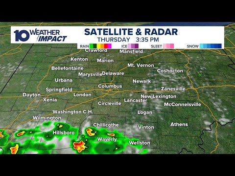
LIVE RADAR: Showers, isolated storms move through central Ohio
LIVE RADAR: Showers, isolated storms move through central Ohio
04:02:22 - Youtube video: R9jeaqQDpD4