Loading...
Related Footage
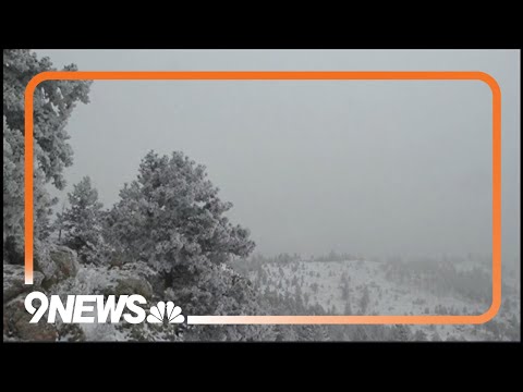
Denver braces for snowstorm as temperatures plummet
Denver braces for snowstorm as temperatures plummet
09:33:09 - Youtube video: WmNM-FCb-ag
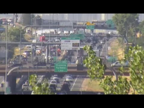
WATCH: Crash closes northbound I-25 in Northglenn
WATCH: Crash closes northbound I-25 in Northglenn
00:37:30 - Youtube video: UmwXyZX_OcY

Denver mayor gives update on 2024 budget, migrant services
Denver mayor gives update on 2024 budget, migrant services
00:56:23 - Youtube video: 6qjMq6mDdhc

Black community roundtable: leaders discuss representation and their relationship with local news
Black community roundtable: leaders discuss representation and their relationship with local news
00:04:38 - Youtube video: J-yL_oPNoUw
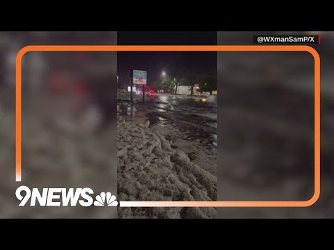
Severe storm brings hail and flooding to Greeley
Severe storm brings hail and flooding to Greeley
00:01:58 - Youtube video: 2B-f3Bt5IgI
9NEWS reporter uses hockey stick to clear snow off tree limbs
9NEWS reporter uses hockey stick to clear snow off tree limbs
00:02:33 - Youtube video: OvNe71tEsTg
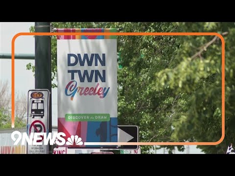
'It's a bomb': Local reacts to Greeley camping ban
'It's a bomb': Local reacts to Greeley camping ban
00:01:39 - Youtube video: 3QF-mbN6RTk
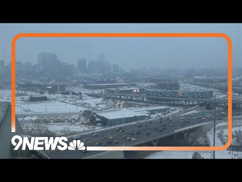
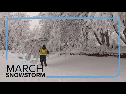
Cold, snowy weather grips the Denver metro
Cold, snowy weather grips the Denver metro
00:55:19 - Youtube video: fdVEOHcNN8I