Loading...
Related Footage
The 10 WEATHER IMPACT Show | Aug. 29, 2025
The 10 WEATHER IMPACT Show | Aug. 29, 2025
00:14:21 - Youtube video: zbUYVZnAHSs
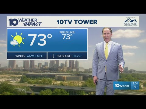
The 10 WEATHER IMPACT Show | Aug. 27, 2025
The 10 WEATHER IMPACT Show | Aug. 27, 2025
00:13:27 - Youtube video: tpXRSkQARnk
The 10 WEATHER IMPACT Show | Aug. 22, 2025
The 10 WEATHER IMPACT Show | Aug. 22, 2025
00:21:13 - Youtube video: kgxdSEuxAXo
The 10 WEATHER IMPACT Show | June 11, 2025
The 10 WEATHER IMPACT Show | June 11, 2025
00:18:16 - Youtube video: ax9A5IMdrwU
The 10 WEATHER IMPACT Show | April 15, 2025
The 10 WEATHER IMPACT Show | April 15, 2025
00:09:40 - Youtube video: KVtU_NkTZ3M

The 10 WEATHER IMPACT Show | Sept. 24, 2025
The 10 WEATHER IMPACT Show | Sept. 24, 2025
00:16:52 - Youtube video: yjsaaslEQHc
The 10 WEATHER IMPACT Show | Sept. 12, 2025
The 10 WEATHER IMPACT Show | Sept. 12, 2025
00:19:56 - Youtube video: njKfElmoVak
The 10 WEATHER IMPACT Show | Sept. 5, 2025
The 10 WEATHER IMPACT Show | Sept. 5, 2025
00:19:51 - Youtube video: lm3eKDfeQuc