Loading...
Related Footage
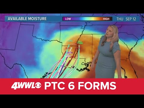
Sunday 5 PM Tropical Update: PTC 6 forms in the southern Gulf, forecast to become hurricane
Sunday 5 PM Tropical Update: PTC 6 forms in the southern Gulf, forecast to become hurricane
00:05:41 - Youtube video: jNPKa0N2VgI
Friday 5 AM Tropical Update: Tropics remain busy, new area to watch in the Caribbean
Friday 5 AM Tropical Update: Tropics remain busy, new area to watch in the Caribbean
00:04:15 - Youtube video: D5-V_G3FFcI
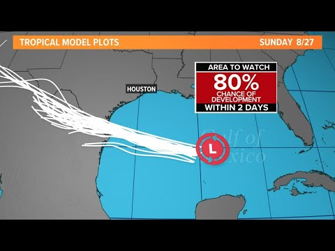
Tropical update: Tropical wave in the Gulf now at 80% of development
Tropical update: Tropical wave in the Gulf now at 80% of development
00:02:52 - Youtube video: OhzsI6IqU40

Tuesday morning tropical update: Earl expected to become major storm
Tuesday morning tropical update: Earl expected to become major storm
00:01:07 - Youtube video: JBFHUsQQ4_g
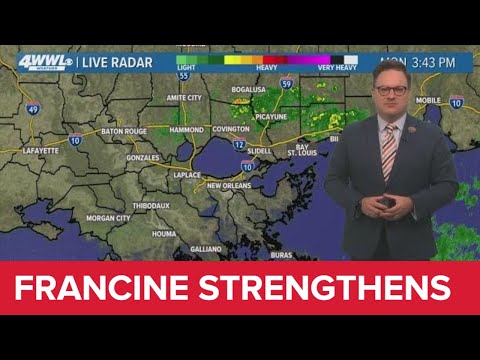
Monday 4PM Tropical Update: Francine expected stronger at landfall, shifts west
Monday 4PM Tropical Update: Francine expected stronger at landfall, shifts west
00:07:40 - Youtube video: 9B8P2hwPC14
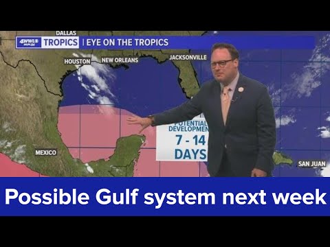
Tuesday 6 PM Tropical update: Philippe moving north, possible Gulf system next week
Tuesday 6 PM Tropical update: Philippe moving north, possible Gulf system next week
00:01:42 - Youtube video: YjFVx8mMzYM

Tuesday Noon Tropical Update: TS Helene to become a hurricane
Tuesday Noon Tropical Update: TS Helene to become a hurricane
00:04:07 - Youtube video: XM6RBAsuNAQ
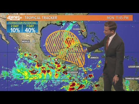
Tuesday 5 AM Tropical Update: Development possible in Gulf of Mexico
Tuesday 5 AM Tropical Update: Development possible in Gulf of Mexico
00:03:24 - Youtube video: -T9azI9usSM