Loading...
Related Footage
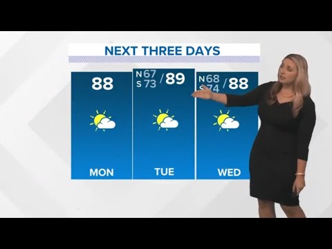
New Orleans Weather: Dry and warm early this week, rain returns Thursday and Friday
New Orleans Weather: Dry and warm early this week, rain returns Thursday and Friday
00:03:48 - Youtube video: GYnU6L81PYs
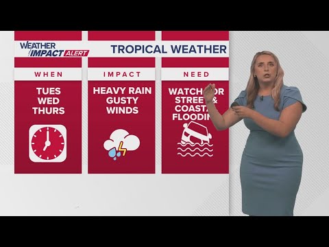
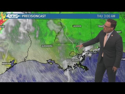
New Orleans Weather: Tropical system forms, expected to bring impacts to Gulf Coast
New Orleans Weather: Tropical system forms, expected to bring impacts to Gulf Coast
00:05:18 - Youtube video: Kzc2YugEn9Q
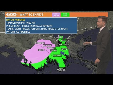
Southeast Louisiana Parish-by-Parish freezing weather forecast
Southeast Louisiana Parish-by-Parish freezing weather forecast
00:03:30 - Youtube video: iXXq8vELPkw
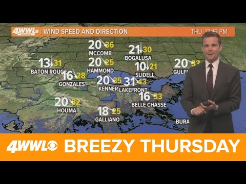
New Orleans weather: Breezy Thursday afternoon, after storms Wednesday
New Orleans weather: Breezy Thursday afternoon, after storms Wednesday
00:03:47 - Youtube video: 5luXFmYW_iM
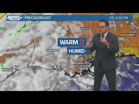
New Orleans Weather: Warmer, more humid air moving in
New Orleans Weather: Warmer, more humid air moving in
00:04:06 - Youtube video: VnURBqexrv8
New Orleans weather: Clearing overnight, more sun Tuesday
New Orleans weather: Clearing overnight, more sun Tuesday
00:03:21 - Youtube video: 0g781vBbpL8
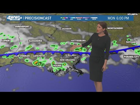
New Orleans Weather: Spotty storms Monday, drier trend midweek
New Orleans Weather: Spotty storms Monday, drier trend midweek
00:04:05 - Youtube video: LmTtAEam0LI

New Orleans Weather: Severe threat moves out of the area
New Orleans Weather: Severe threat moves out of the area
00:03:38 - Youtube video: M6d0yU5MpGA