Loading...
Related Footage
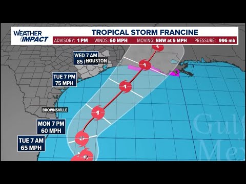
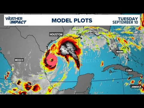
Weather Impact: Tracking Tropical Storm Francine
Weather Impact: Tracking Tropical Storm Francine
00:07:27 - Youtube video: 5B6QG5lZBqU
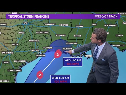
DFW Weather: Tracking Tropical Storm Francine's path
DFW Weather: Tracking Tropical Storm Francine's path
00:03:57 - Youtube video: 8lGc3Bn6tO4
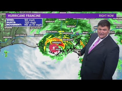
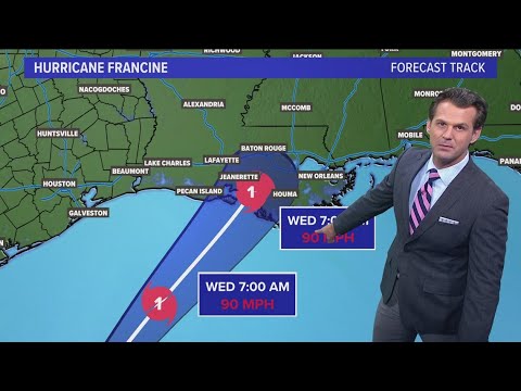
DFW Weather: Tracking Hurricane Francine, Tropical Storm Gordon developing in the Atlantic
DFW Weather: Tracking Hurricane Francine, Tropical Storm Gordon developing in the Atlantic
00:04:17 - Youtube video: C8puZ3UCciU
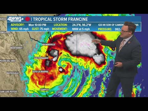
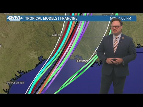
Team Coverage: Tracking Tropical Storm Francine nearing southeast Louisiana. Here's the latest
Team Coverage: Tracking Tropical Storm Francine nearing southeast Louisiana. Here's the latest
00:07:12 - Youtube video: -4grG_FrV7I
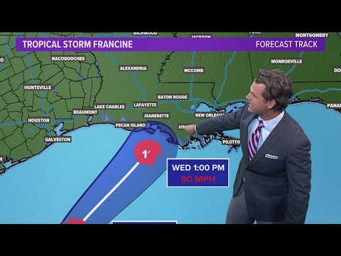
Monday 5PM Tropical Update: Tracking TS Francine ahead of projected landfall
Monday 5PM Tropical Update: Tracking TS Francine ahead of projected landfall
00:02:42 - Youtube video: rLSXwVNSixs
Tracking Tropical Storm Francine as the storm nears hurricane strength
Tracking Tropical Storm Francine as the storm nears hurricane strength
00:02:20 - Youtube video: ovFCoCQigtE
DFW Weather: Tracking Hurricane Francine, brief rain showers possible Wednesday
DFW Weather: Tracking Hurricane Francine, brief rain showers possible Wednesday
00:03:53 - Youtube video: 1j9Re6Q6eEc
Watch Live: Meteorologist Chita Craft is tracking Tropical Storm Francine in the Gulf
Watch Live: Meteorologist Chita Craft is tracking Tropical Storm Francine in the Gulf
00:06:58 - Youtube video: BpFG-JSc3Ns