Loading...
Related Footage
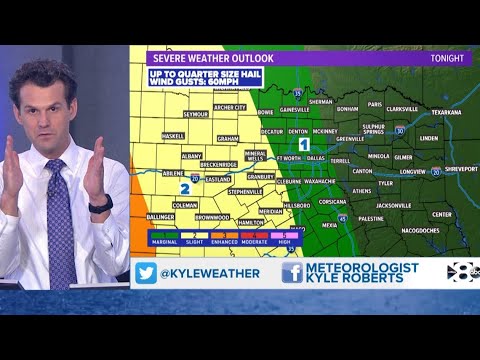
DFW weather: Tracking severe weather on Monday
DFW weather: Tracking severe weather on Monday
00:05:06 - Youtube video: jHcQ6n7HO2Y
Severe storms causing damage in Garland
Severe storms causing damage in Garland
00:02:42 - Youtube video: OCuht9rIcJU
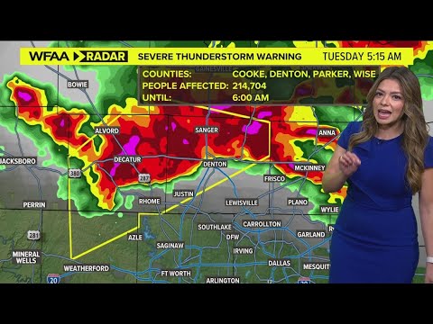
DFW Weather: Severe thunderstorm warning issued in North Texas
DFW Weather: Severe thunderstorm warning issued in North Texas
00:03:34 - Youtube video: kxpEgdwE7Eg
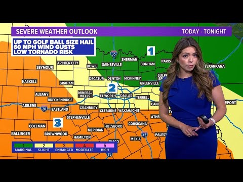
UPDATE: Tracking severe weather in DFW on Tuesday
UPDATE: Tracking severe weather in DFW on Tuesday
00:04:28 - Youtube video: Y5yteR6_lMc

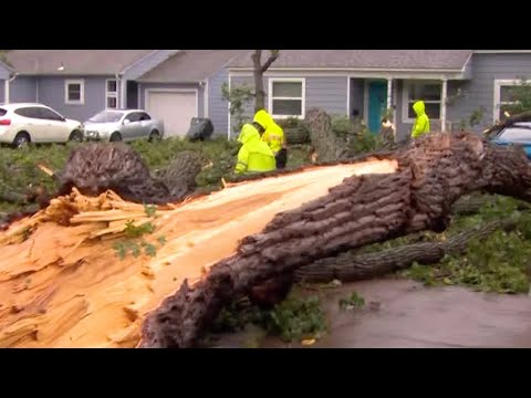
LIVE: Tracking damage caused by severe weather in North Texas
LIVE: Tracking damage caused by severe weather in North Texas
00:08:12 - Youtube video: 3ODvTGwDNWQ
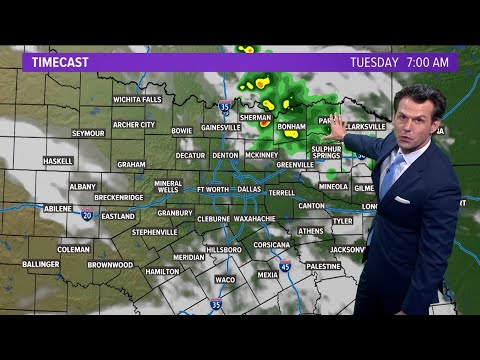
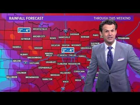
FORECAST: What weather to expect the rest of Tuesday
FORECAST: What weather to expect the rest of Tuesday
00:06:34 - Youtube video: wOC8Cq5ZIuQ
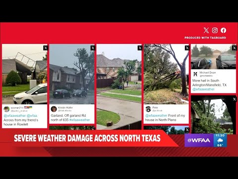
UPDATE: Tracking severe weather damage in North Texas on Tuesday
UPDATE: Tracking severe weather damage in North Texas on Tuesday
00:08:55 - Youtube video: 2XmjwWeWpB8
DFW WEATHER: Tracking severe storms and damage
DFW WEATHER: Tracking severe storms and damage
00:04:09 - Youtube video: -3SNisKyIgs