Loading...
Related Footage
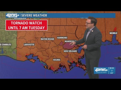
Severe Weather update | Tornado watch extended until 7 AM Tuesday
Severe Weather update | Tornado watch extended until 7 AM Tuesday
00:06:37 - Youtube video: 0RxQEO64co0
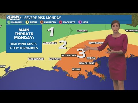
Severe weather update for Monday
Severe weather update for Monday
00:08:42 - Youtube video: K6XemrxemfI

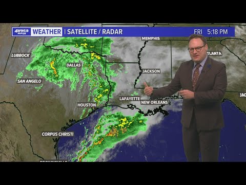
Strong to severe thunderstorms are possible early Friday morning
Strong to severe thunderstorms are possible early Friday morning
00:04:14 - Youtube video: WIdgm8chbdE
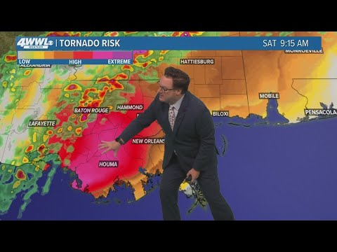
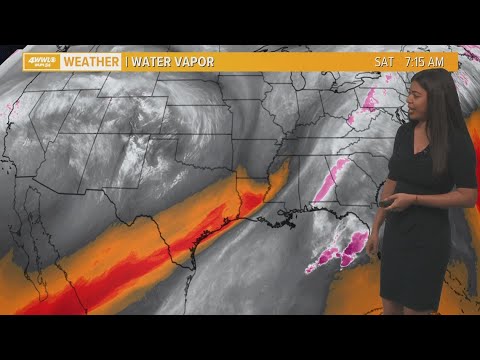
New Orleans Weather: Severe weather chances increase for Saturday
New Orleans Weather: Severe weather chances increase for Saturday
00:03:54 - Youtube video: QTnKrwkazLk
Weather: Severe storms possible Tuesday
Weather: Severe storms possible Tuesday
00:04:37 - Youtube video: wInTkotq0jA
Weather: Some severe storms possible early Saturday
Weather: Some severe storms possible early Saturday
00:04:27 - Youtube video: 33Q4E_MLk7Q
New Orleans Weather: Severe weather possible next week
New Orleans Weather: Severe weather possible next week
00:04:01 - Youtube video: 0a8IaZdoSCs
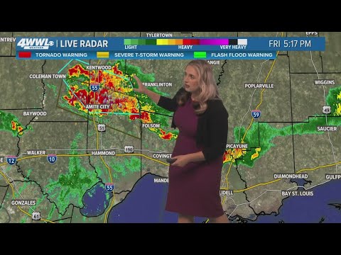
New Orleans Weather: Severe storms on Northshore this evening, hotter and drier weekend
New Orleans Weather: Severe storms on Northshore this evening, hotter and drier weekend
00:03:43 - Youtube video: Uh7x-qtC9D4