Loading...
Related Footage

Weather: Rainy Wednesday and Thursday
Weather: Rainy Wednesday and Thursday
00:03:28 - Youtube video: as8RmXTh-zE
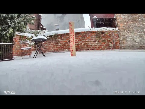
Watch: Timelapse video of snow pile in New Orleans
Watch: Timelapse video of snow pile in New Orleans
00:00:29 - Youtube video: GlC4T6OltHg
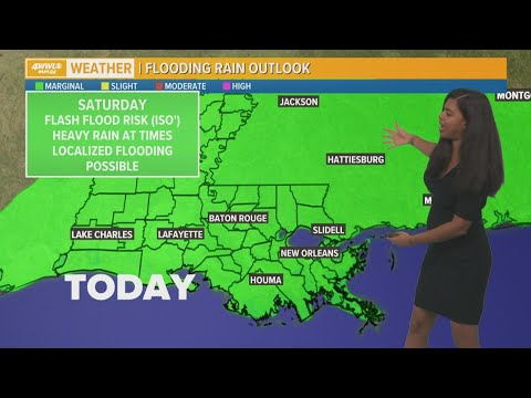
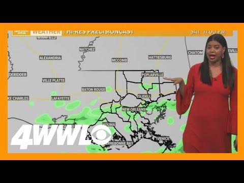
New Orleans Weather: Scattered downpours over weekend
New Orleans Weather: Scattered downpours over weekend
00:04:38 - Youtube video: BJjpDYBxsGo
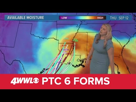
Sunday 5 PM Tropical Update: PTC 6 forms in the southern Gulf, forecast to become hurricane
Sunday 5 PM Tropical Update: PTC 6 forms in the southern Gulf, forecast to become hurricane
00:05:41 - Youtube video: jNPKa0N2VgI
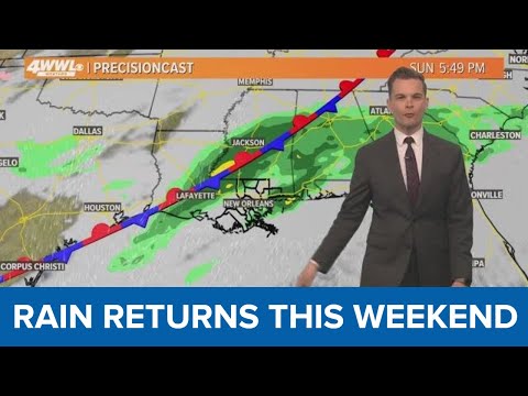
New Orleans Weather: Mostly dry week, rain returns this weekend
New Orleans Weather: Mostly dry week, rain returns this weekend
00:03:11 - Youtube video: yyug9L4PNGU
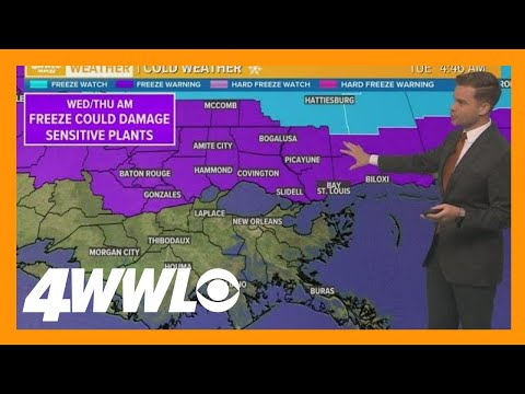
New Orleans Weather: Colder air is here, freeze warning for Northshore
New Orleans Weather: Colder air is here, freeze warning for Northshore
00:03:23 - Youtube video: TFdKIOd32NU
New Orleans Weather Forecast: Colder air moves in for weekend
New Orleans Weather Forecast: Colder air moves in for weekend
00:04:14 - Youtube video: YPSjtTY6h4k
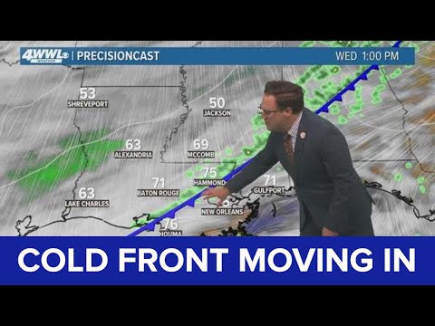
Weather: Cold front set to move in
Weather: Cold front set to move in
00:04:01 - Youtube video: 5AlrCi3r6nE