Loading...
Related Footage

Weather: Rainy Wednesday and Thursday
Weather: Rainy Wednesday and Thursday
00:03:28 - Youtube video: as8RmXTh-zE

Causeway Bridge remains closed due to icy conditions
Causeway Bridge remains closed due to icy conditions
00:02:26 - Youtube video: KVlhW9ByYng

Sunday 5 PM Tropical Update: PTC 6 forms in the southern Gulf, forecast to become hurricane
Sunday 5 PM Tropical Update: PTC 6 forms in the southern Gulf, forecast to become hurricane
00:05:41 - Youtube video: jNPKa0N2VgI
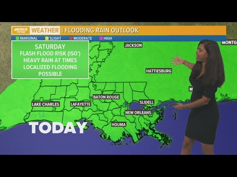
New Orleans Weather: Scattered downpours over weekend
New Orleans Weather: Scattered downpours over weekend
00:04:38 - Youtube video: BJjpDYBxsGo

Watch: Timelapse video of snow pile in New Orleans
Watch: Timelapse video of snow pile in New Orleans
00:00:29 - Youtube video: GlC4T6OltHg
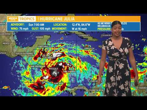
Sunday morning tropical update: Hurricane Julia makes landfall
Sunday morning tropical update: Hurricane Julia makes landfall
00:01:19 - Youtube video: NpU9JqO2LgQ
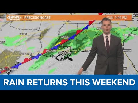
New Orleans Weather: Mostly dry week, rain returns this weekend
New Orleans Weather: Mostly dry week, rain returns this weekend
00:03:11 - Youtube video: yyug9L4PNGU
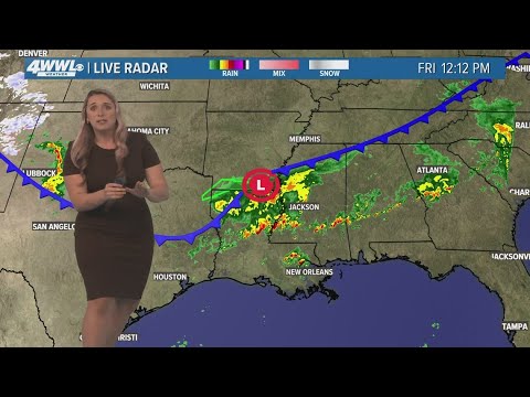
Rainy St. Patrick's Day weekend, Sunday will be a wash
Rainy St. Patrick's Day weekend, Sunday will be a wash
00:04:32 - Youtube video: Kx4_eWbfOH8