Loading...
Related Footage

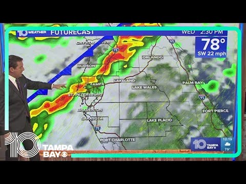
LIVE RADAR: Showers and storms moving through Tampa Bay area
LIVE RADAR: Showers and storms moving through Tampa Bay area
01:21:47 - Youtube video: ynx9jQ_I6u4
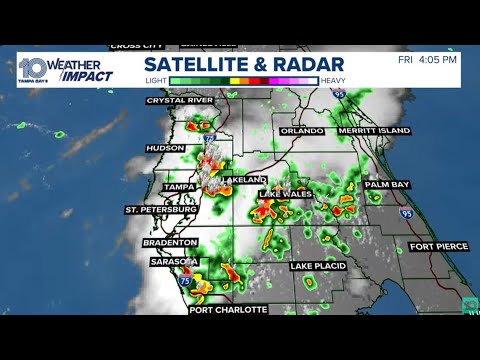
LIVE RADAR: Potentially severe weather moves into Tampa Bay region
LIVE RADAR: Potentially severe weather moves into Tampa Bay region
00:10:36 - Youtube video: kOPqkl1pWZY

LIVE RADAR: Weather conditions across the Tampa Bay area
LIVE RADAR: Weather conditions across the Tampa Bay area
11:55:00 - Youtube video: D_W2NxSInnE
Thunderstorms move across Tampa Bay
Thunderstorms move across Tampa Bay
02:40:02 - Youtube video: FH56zGfu6e0

LIVE RADAR: Weather conditions across the Tampa Bay area
LIVE RADAR: Weather conditions across the Tampa Bay area
11:24:55 - Youtube video: -MaNcUSZ6AU

LIVE RADAR: Weather conditions across the Tampa Bay area
LIVE RADAR: Weather conditions across the Tampa Bay area
11:54:58 - Youtube video: ixNxxxlHHhw

LIVE: Real-time weather conditions across Tampa Bay
LIVE: Real-time weather conditions across Tampa Bay
10:10:30 - Youtube video: 4haqDBQ95Qc
LIVE: Real-time weather conditions across Tampa Bay
LIVE: Real-time weather conditions across Tampa Bay
10:48:02 - Youtube video: qC_H29jfnHE