Loading...
Related Footage
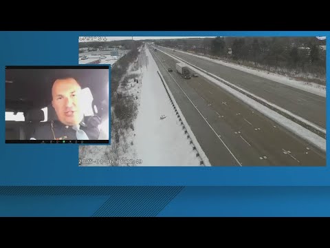
State Police shares update on Indianapolis interstate conditions Monday evening after winter storm
State Police shares update on Indianapolis interstate conditions Monday evening after winter storm
00:01:52 - Youtube video: G_HG1I8NsWQ
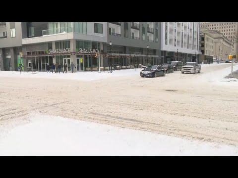
Winter storm impacting roads across central Indiana
Winter storm impacting roads across central Indiana
00:02:25 - Youtube video: zeZ1GcXmlxw
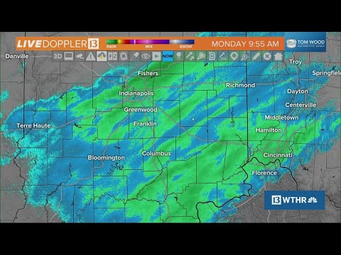
10 a.m. Monday update on winter snow storm in Indiana | Weather Impact Alert
10 a.m. Monday update on winter snow storm in Indiana | Weather Impact Alert
00:07:55 - Youtube video: Do9d6z6Jef0
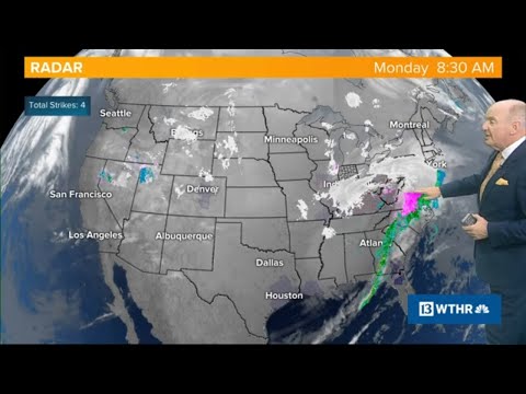
9 a.m. Monday update on winter snow storm in Indiana | Weather Impact Alert
9 a.m. Monday update on winter snow storm in Indiana | Weather Impact Alert
00:19:00 - Youtube video: cSLJ95bjiQc
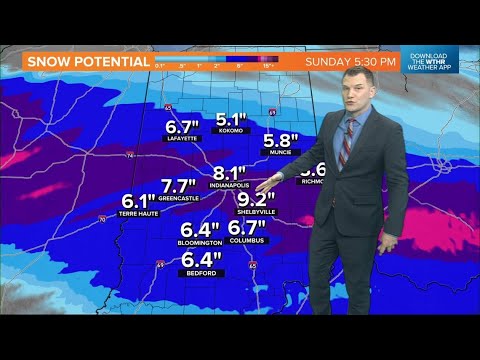
Friday afternoon update on winter storm hitting Indiana this weekend | Weather Impact Alert
Friday afternoon update on winter storm hitting Indiana this weekend | Weather Impact Alert
00:10:50 - Youtube video: fFDopZtMuwg
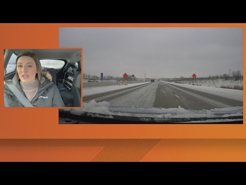
Road slick across central Indiana as snow blankets area
Road slick across central Indiana as snow blankets area
00:01:37 - Youtube video: 75almpF2y3w
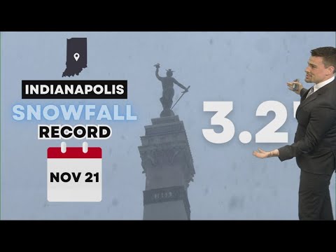
Snowfall totals from across Indiana (Nov 21, 2024) | New record for Indianapolis
Snowfall totals from across Indiana (Nov 21, 2024) | New record for Indianapolis
00:01:55 - Youtube video: YtpY8H40Xyc
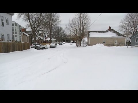
Indianapolis city streets remain snow-covered Monday evening
Indianapolis city streets remain snow-covered Monday evening
00:02:42 - Youtube video: e1F2pet2Khg