Loading...
Related Footage
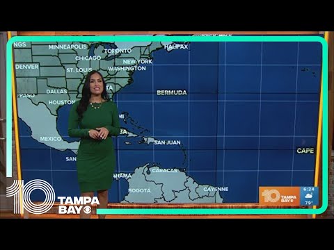
Tracking the Tropics: All clear right now in the Atlantic
Tracking the Tropics: All clear right now in the Atlantic
00:00:42 - Youtube video: _Fsy3Q7Ewk8

Tracking the Tropics: NHC monitoring 2 systems in the Atlantic; No current threat to the U.S
Tracking the Tropics: NHC monitoring 2 systems in the Atlantic; No current threat to the U.S
00:00:17 - Youtube video: BNSDLcCnCSE
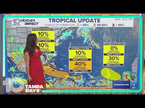
Tracking the Tropics: NHC monitoring three areas in the tropics for possible development
Tracking the Tropics: NHC monitoring three areas in the tropics for possible development
00:00:41 - Youtube video: 7IbKoFCQsGA
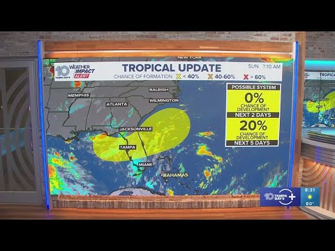
Tracking the tropics: Watching for possible development near Florida, Tropical Depression Two moves
Tracking the tropics: Watching for possible development near Florida, Tropical Depression Two moves
00:01:59 - Youtube video: 6JSCoI2Kl28
Tracking Tampa Bay weather, the latest in the tropics
Tracking Tampa Bay weather, the latest in the tropics
00:26:03 - Youtube video: pNj14xnuMFE
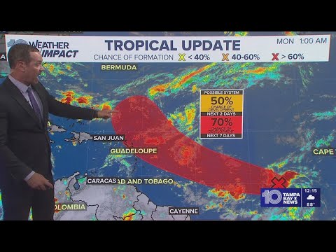
Tracking the Tropics: Wave in Central Atlantic could become tropical depression in coming days
Tracking the Tropics: Wave in Central Atlantic could become tropical depression in coming days
00:00:35 - Youtube video: d-ioRagFpiQ
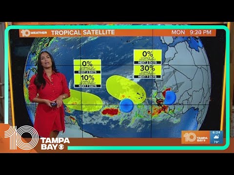
Tracking the Tropics: Tracking 2 waves off the African coast
Tracking the Tropics: Tracking 2 waves off the African coast
00:01:17 - Youtube video: VIKpdjZkbMI
Weather Impact Live: Tracking Sunday's forecast, the tropics
Weather Impact Live: Tracking Sunday's forecast, the tropics
00:26:07 - Youtube video: oxZty5MXGCc