Loading...
Related Footage

Coaches and players speak for Indiana Fever media day | April 30, 2025
Coaches and players speak for Indiana Fever media day | April 30, 2025
01:15:38 - Youtube video: Iu2dHkvBp8E
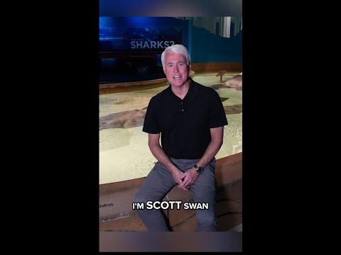
WTHR to air 'Indianapolis Prize: Saving Species' special
WTHR to air 'Indianapolis Prize: Saving Species' special
00:00:56 - Youtube video: nL5DXjhuP_M
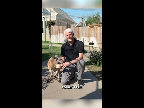
WTHR to air 'Indianapolis Prize: Saving Species' special
WTHR to air 'Indianapolis Prize: Saving Species' special
00:00:43 - Youtube video: n1XIrT6CAdQ
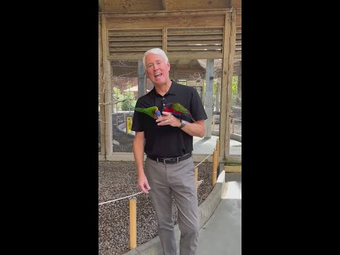
WTHR to air 'Indianapolis Prize: Saving Species' special
WTHR to air 'Indianapolis Prize: Saving Species' special
00:00:36 - Youtube video: BxoUfXjr8vU

Pets of the Week: 3-15-2025
Pets of the Week: 3-15-2025
00:01:53 - Youtube video: 1eGmUR7GJwc

13News top stories: Noon, April 8, 2025
13News top stories: Noon, April 8, 2025
00:10:05 - Youtube video: C6cCtXPNzhI

13News top stories: Noon, Aug. 21, 2025
13News top stories: Noon, Aug. 21, 2025
00:10:55 - Youtube video: AMVNPmN5ixo

13News top stories: Noon, Aug. 18, 2025
13News top stories: Noon, Aug. 18, 2025
00:07:47 - Youtube video: d6BovyVt8HM