Loading...
Related Footage
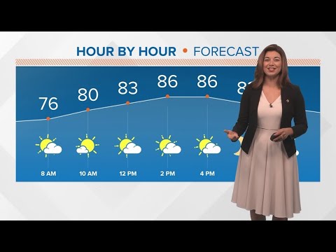
Weekend Forecast: Sunday, Oct. 6
Weekend Forecast: Sunday, Oct. 6
00:03:04 - Youtube video: QNHBCqq3qZo

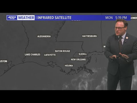
New Orleans Weather: Rounds of heavy rain Wednesday & Thursday
New Orleans Weather: Rounds of heavy rain Wednesday & Thursday
00:03:29 - Youtube video: GwMBgumzU6c

Comfy and creepy weather forecast for trick-or-treating
Comfy and creepy weather forecast for trick-or-treating
00:04:41 - Youtube video: 75ksbuXAjr8
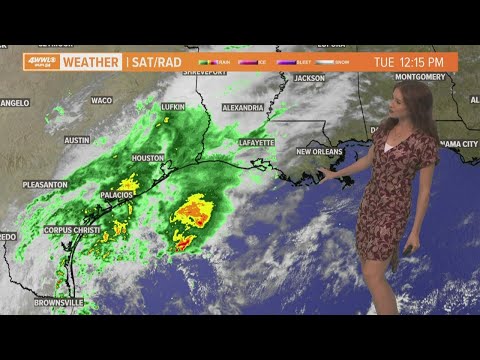
Weather: Much needed rain in the forecast this week
Weather: Much needed rain in the forecast this week
00:04:15 - Youtube video: EDq20sjCemE
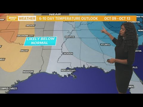
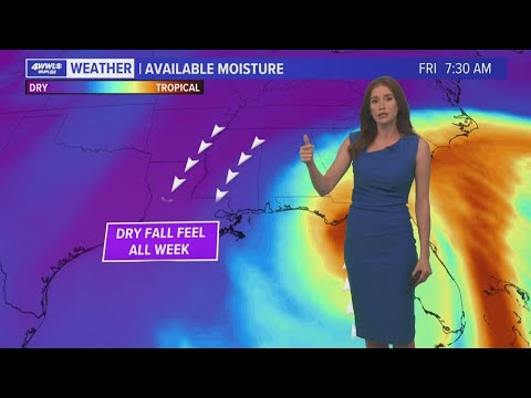
The quiet weather pattern continues all week
The quiet weather pattern continues all week
00:02:35 - Youtube video: B9TMJbcjIUE

Weather: Rainy Wednesday and Thursday
Weather: Rainy Wednesday and Thursday
00:03:28 - Youtube video: as8RmXTh-zE
Pleasant weather to start November
Pleasant weather to start November
00:04:29 - Youtube video: YS3PVQRzNAY
Hot weather Monday, but fall weather starts Tuesday!
Hot weather Monday, but fall weather starts Tuesday!
00:06:01 - Youtube video: iRcZS16QPBs