Loading...
Related Footage
Erin forecast to become major hurricane
Erin forecast to become major hurricane
00:01:25 - Youtube video: 9GPS82VAdlk
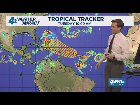
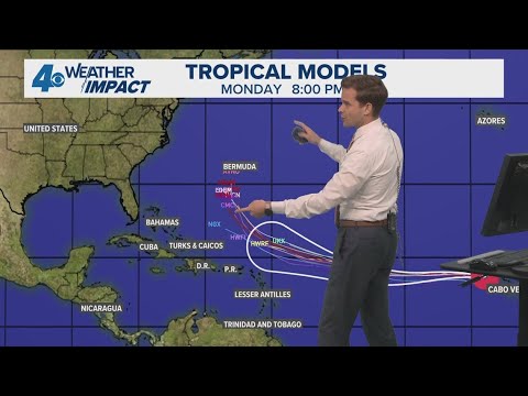
Tropical Update Tuesday 7am: Erin grows in size; new storm could form behind Erin
Tropical Update Tuesday 7am: Erin grows in size; new storm could form behind Erin
00:01:56 - Youtube video: akR_cNc-XwM
Tropical Weather Impact: Erin expected to become a hurricane, no threat to the Gulf
Tropical Weather Impact: Erin expected to become a hurricane, no threat to the Gulf
00:11:06 - Youtube video: evzyVQ7fPUU
Tropical Weather Impact: Erin grows in size; new storm could form behind Erin
Tropical Weather Impact: Erin grows in size; new storm could form behind Erin
00:10:44 - Youtube video: CSCYN8rxkuU
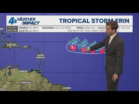
Tropical Weather Impact: Tropical Storm Erin forms
Tropical Weather Impact: Tropical Storm Erin forms
00:10:50 - Youtube video: cAttllGbDZM

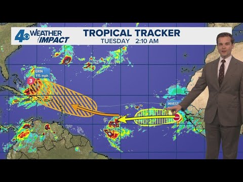
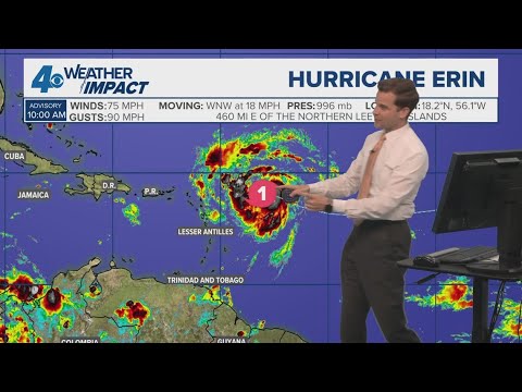
Tropical Weather Impact: Erin becomes a major Category 5 hurricane
Tropical Weather Impact: Erin becomes a major Category 5 hurricane
00:01:42 - Youtube video: Fad8v-cJTrA
Tropical Weather Impact: Erin becomes Hurricane; Gulf development possible
Tropical Weather Impact: Erin becomes Hurricane; Gulf development possible
00:10:57 - Youtube video: DmVtLMl11Pg

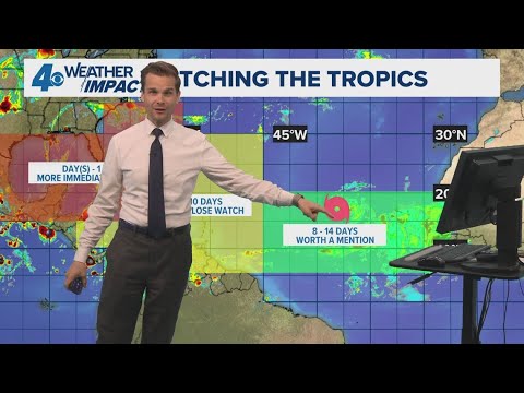
Tropical Weather Impact: Watching a new tropical wave behind Hurricane Erin
Tropical Weather Impact: Watching a new tropical wave behind Hurricane Erin
00:01:54 - Youtube video: r2WTkwngJRk